In the field of geotechnical engineering, accurately understanding the physical-mechanical properties and deformation behavior of geomaterials is crucial for construction projects. As the development of various infrastructure—such as high-rise buildings, underground projects, and transportation hubs—continues to advance, there is a growing need to study the stability and deformation characteristics of geomaterials under complex geological conditions. Furthermore, geomaterials undergo changes in morphology and structure due to natural environmental factors and engineering activities (such as excavation and loading); these changes directly impact the safety, durability, and cost-effectiveness of engineering structures.
Traditional manual observation and two-dimensional analysis methods struggle to meet the rigorous demands for precise micro-level characterization. Here, we introduce the application of XTOP3D’s high-precision blue-light 3D scanning technology in geotechnical engineering, offering powerful support for monitoring the deformation of geotechnical structures and analyzing structural characteristics and cross-sectional roughness.
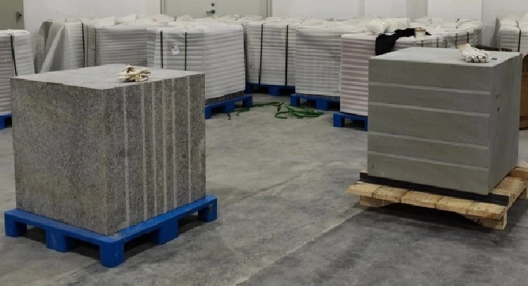
Analysis of Client Requirements
01 From Point Cloud Acquisition to Feature Calculation
Project Challenges
1. Acquiring high-precision 3D point cloud data;
2. Calculating rock surface structural morphology and deformation characteristics;
3. Analyzing surface roughness, including both areal and linear roughness parameters.
Measurement Objectives
1. Precisely capturing surface morphology data of rock and soil masses at various stages to analyze deformation characteristics and patterns;
2. Conducting 3D dimensional inspection of rock and soil masses to provide technical references for engineering applications such as deformation monitoring and quality assessment;
3. Establishing analysis methods based on 3D scan data to advance testing technologies in geotechnical engineering.
02 Scanning and Measurement Process
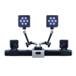
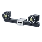
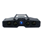
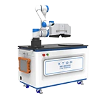
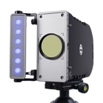
To meet the aforementioned requirements, the XTOP3D XTOM-MATRIX high-precision blue-light 3D scanner is utilized. Blue-light 3D scanning technology ensures high-fidelity capture of everything from minute fissure structures to complex, intricate surface textures.
XTOM-MATRIX Blue-Light Structured Light 3D Scanner
-
Resolution of 5 to 9 megapixels
-
Measurement accuracy can reach 0.006 mm.
-
The minimum pixel pitch is 0.045 mm.
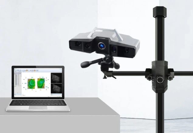
STEP 1: Sample Preparation
The test specimens consist of large granite and concrete blocks. These simulate natural and engineered rock and soil masses; with volumes reaching several cubic meters, they effectively represent the macroscopic physical properties of such materials. Marker points are affixed to the surfaces of the blocks to facilitate the stitching of multiple scans.
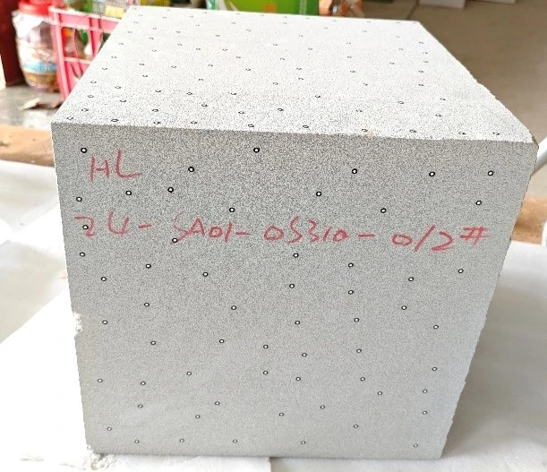
Affixing markers to the surface of the rock or soil block.
Step 2: Multi-angle Scanning and Data Acquisition
Initial State Scanning:
With the position and parameters of the blue-light 3D scanner fixed, perform comprehensive 3D scanning on undisturbed granite and concrete blocks to acquire initial surface 3D point cloud data. Blue-light structured light technology effectively eliminates interference from reflections, making it suitable for surfaces with complex material properties.
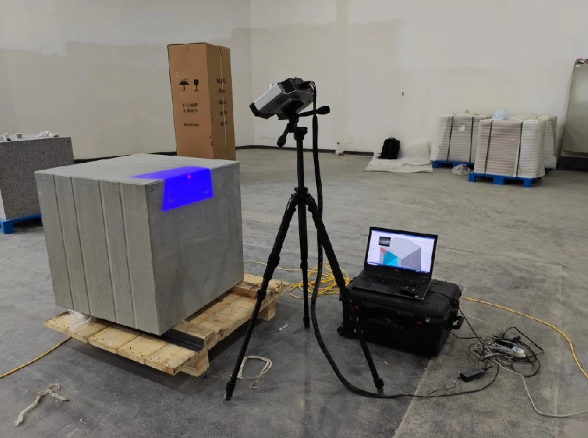
Simulated Disturbance Operations:
Disturbance and deformation of the rock/soil mass—induced by engineering activities or environmental factors—are simulated through methods such as manual impact, heavy load application, and adjustments to stacking arrangements (e.g., using a forklift to relocate packaged cargo or altering the relative positions of experimental blocks).
Post-Disturbance Scanning:
The disturbed rock/soil specimen is scanned again using identical parameters and positioning to capture post-disturbance 3D surface point cloud data, which is then saved as an STL file representing that specific state.
Repeated Trials and Comparative Analysis:
The methods and intensity of the disturbances are varied (e.g., increasing impact force or adjusting load weights), and blue-light 3D scanning technology is employed to acquire multiple 3D data models representing different states for comparative analysis.
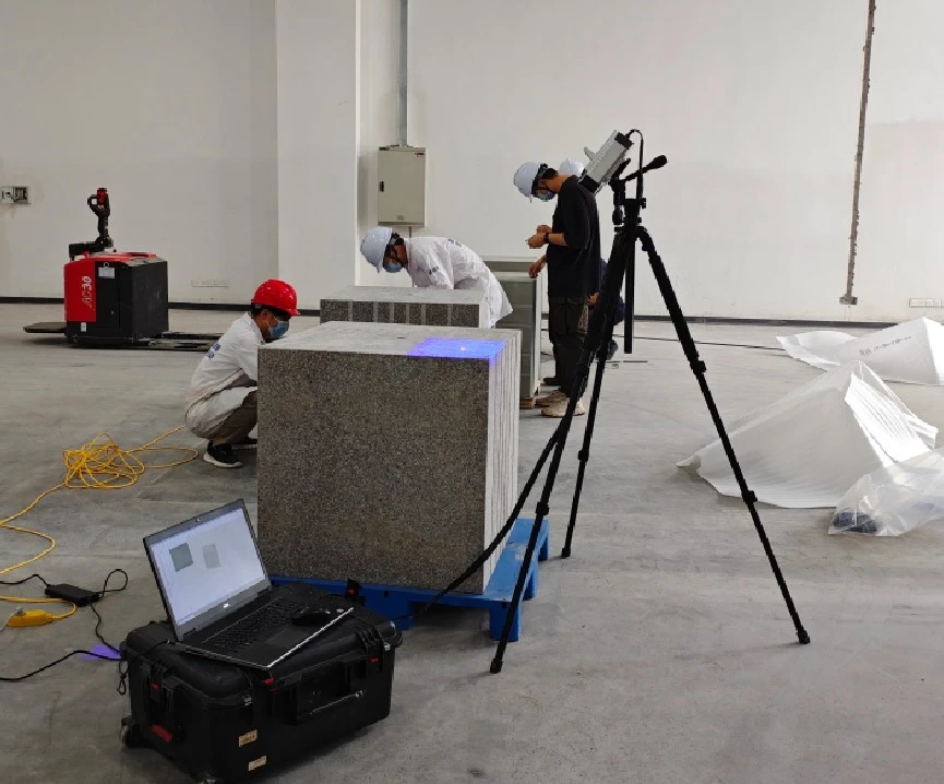
On-site blue-light 3D scanning of geotechnical structures
Step 3: Data Processing and Fusion
1. After the 3D scanning data acquisition is complete, process and fuse the multiple sets of scan data using the triangulation function of the XTOM scanning software to generate a comprehensive 3D data model of the rock surface, ensuring that model details are clear.
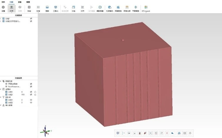
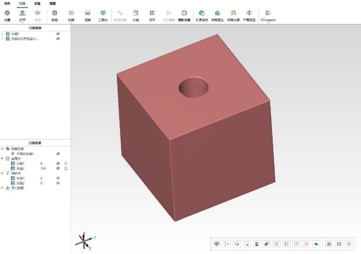
2. Upon completion of the comprehensive scanning, mechanical equipment is used to chisel open the rock along the fine fractures. The data regarding the internal rock surfaces, obtained via blue-light 3D scanning technology, are as follows:
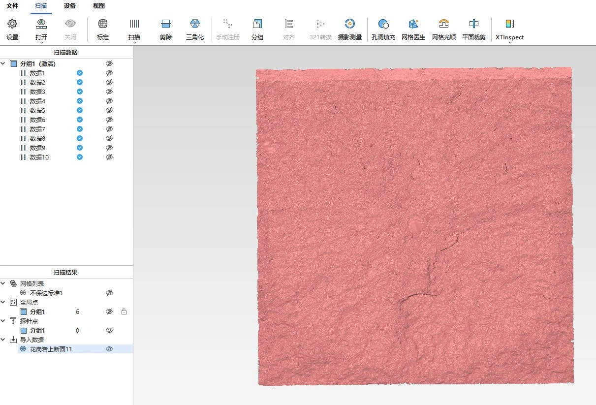
Step 4: 3D Dimensional Inspection and Analysis
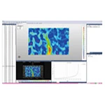
Using XTOP3D’s professional XTOM-INSPECT 3D inspection and analysis software, precise 3D dimensional inspection of the rock is conducted to accurately calculate the specific values for its three key dimensions: length, width, and height.
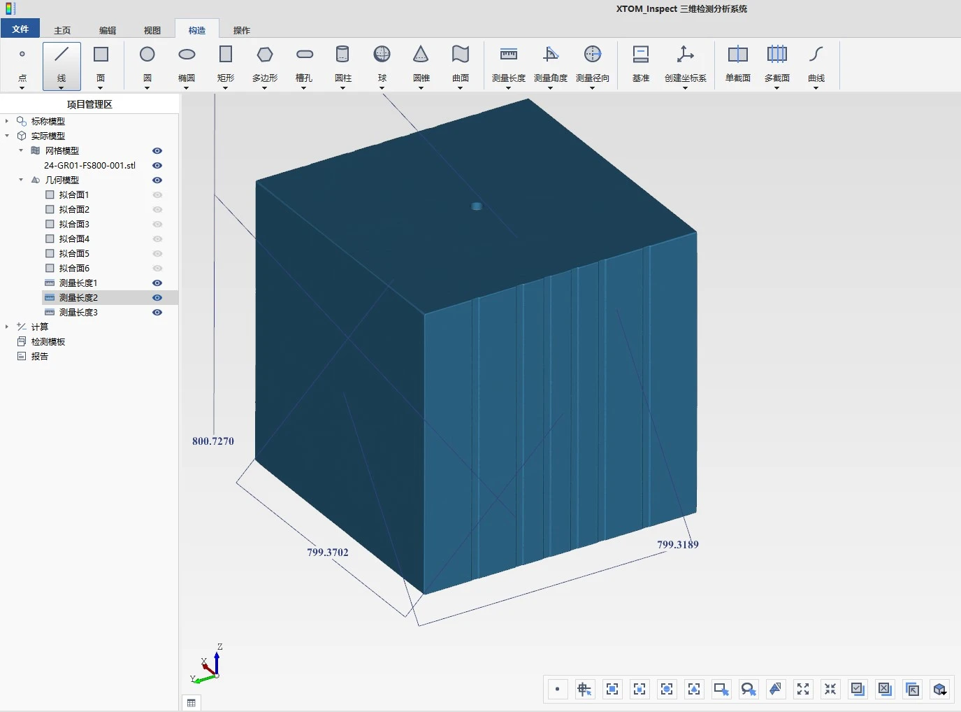
By conducting full-scale 3D inspection of the rock, we ensure that the obtained dimensional parameters accurately reflect the physical characteristics of the rock block, thereby providing reliable data support for subsequent geological analysis and engineering applications.
3D Dimensional Measurement of Rock Blocks
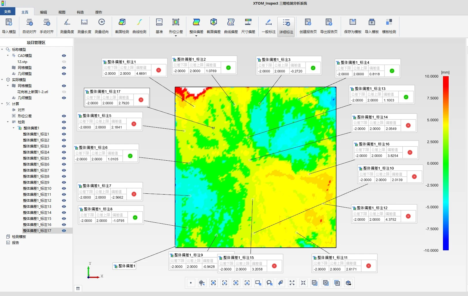
Comparison of 3D dimensional deviations of rock cross-sections
Conclusions
1. Comparisons with manual measurements of known rock dimensions demonstrate that the XTOM-MATRIX high-precision blue-light 3D scanner consistently maintains an error margin of less than 0.025 mm, highlighting the reliability of blue-light 3D scanning technology in capturing morphological details of rock and soil masses at a microscopic scale.
2. The application of blue-light 3D scanning technology to the structural analysis of rock and soil masses (including physical models) is highly feasible; it enables the precise reconstruction of surface features—such as textures, fractures, and undulations—with resolutions reaching the millimeter or even sub-millimeter level.
3. Blue-light 3D scanning technology offers significant potential for expanded application in geotechnical engineering. For instance, it facilitates the precise simulation of natural environments involving multi-factor coupling and the replication of various typical engineering scenarios—such as dynamic stress changes during tunnel excavation, long-term deformation in slope engineering, and load transfer patterns during foundation treatment—thereby supporting in-depth research into the physical-mechanical properties and structural evolution of rock and soil masses.